
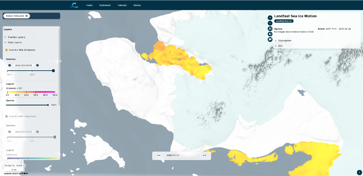
Landfast sea ice serves as a climate regulator, habitat for marine mammals, and a surface for transportation.
InSAR processing detects phase changes between SAR images, revealing relative ice motion. The minimum possible strain over a 12-day interval is calculated.
The Norwegian Geotechnical Institute (NGI) used Polar TEP for reanalysis of data over Svalbard from 2016 to 2026. The 5.5 TB of results are available in the CIF dashboard.
The algorithm is available for application anywhere in the world.
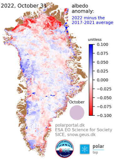
The Geological Survey of Denmark and Greenland (GEUS) has been using Polar TEP to process ice sheet albedo and related parameters based on Sentinel-3 data in near real-time for operational data assimilation since 2017.
The use of Polar TEP has reduced the processing time by a factor of ten.
The GEUS algorithm is available for use and development in Polar TEP.