Polar TEP is part of the wider data ecosystem.
The following are some other data platforms that are collaborating with Polar TEP.

ESA Open Science Catalogue
The ESA Open Science Catalogue provides links to publicly available geoscience products, datasets and resources developed in the frame of scientific research Projects funded by ESA EO (Earth Observation). Products vary in geographical and temporal extent, production methodology, validation, and quality. In the majority of cases, the catalogue holds metadata for each product and project. The actual data and its documentation are maintained by and accessible from the data providers, outside of esa.int. One of the themes is the cryosphere.
ESA EarthCODE
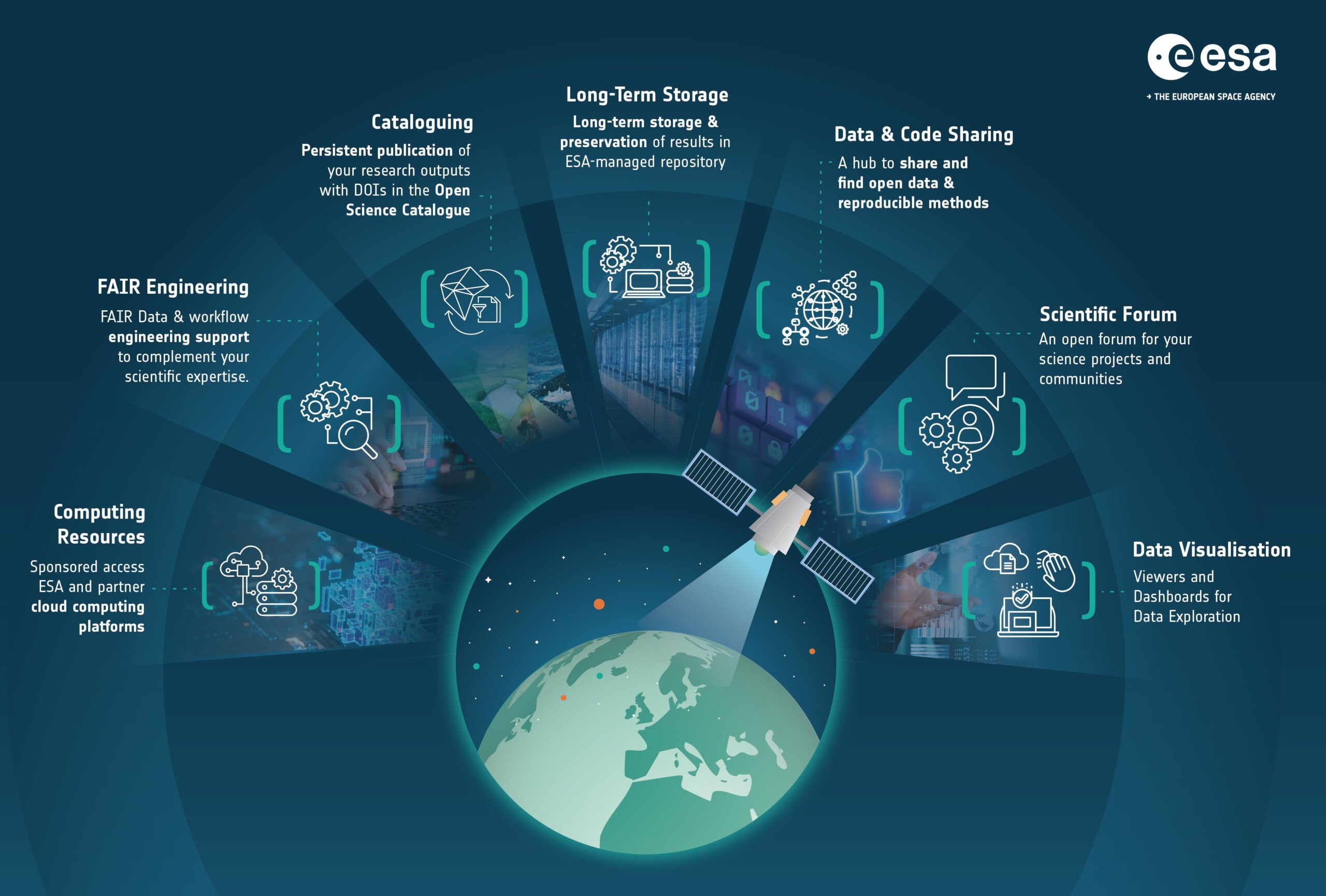
EarthCODE is ESA’s strategic initiative to bring its vision of openness in EO science, applications and industry, and of a sustainable open innovation ecosystem. It integrates 1) the Open Science Catalogue, making it effortless to discover novel research outcomes from ESA Science Clusters activities; 2) access to commercial platform services; and 3) a wealth of community resources and tools that help maintain data and research quality.
CPDC
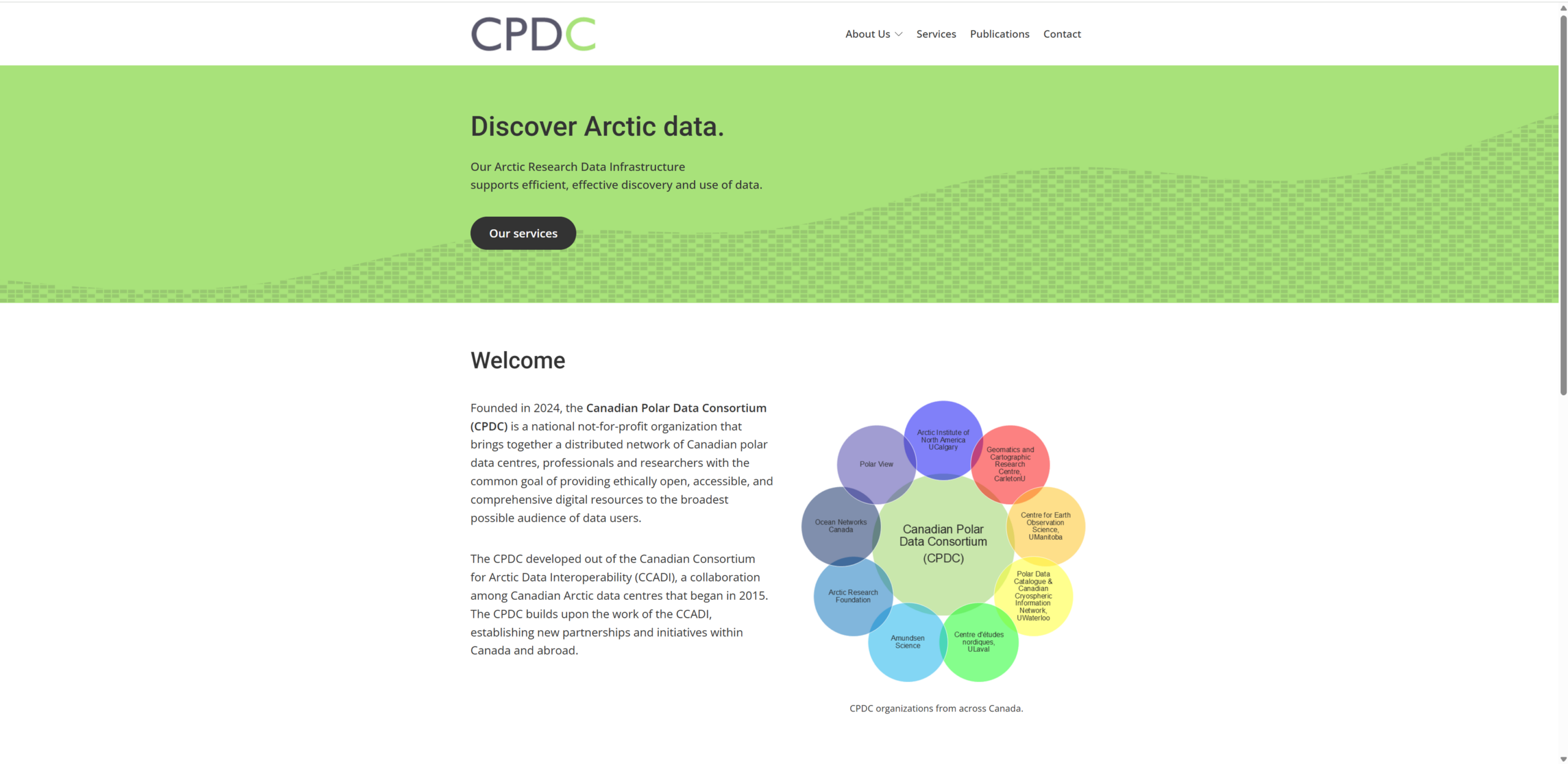
The Canadian Polar Data Consortium (CPDC) is a national not-for-profit organization that brings together a distributed network of Canadian polar data centres, professionals, and researchers. The CPDC developed out of the Canadian Consortium for Arctic Data Interoperability (CCADI), a collaboration among Canadian Arctic data centres that began in 2015. The CPDC builds upon the work of the CCADI, establishing new partnerships and initiatives within Canada and abroad. New initiatives developed since CCADI include contributing to the Arctic Data Standards Initiative, hosting the biennial Canadian Polar Data Workshop, developing data training modules and workshops for the polar research community, contributing to a technical report on Arctic research data interoperability, and participating in national and international data projects and working groups.
Destination Earth
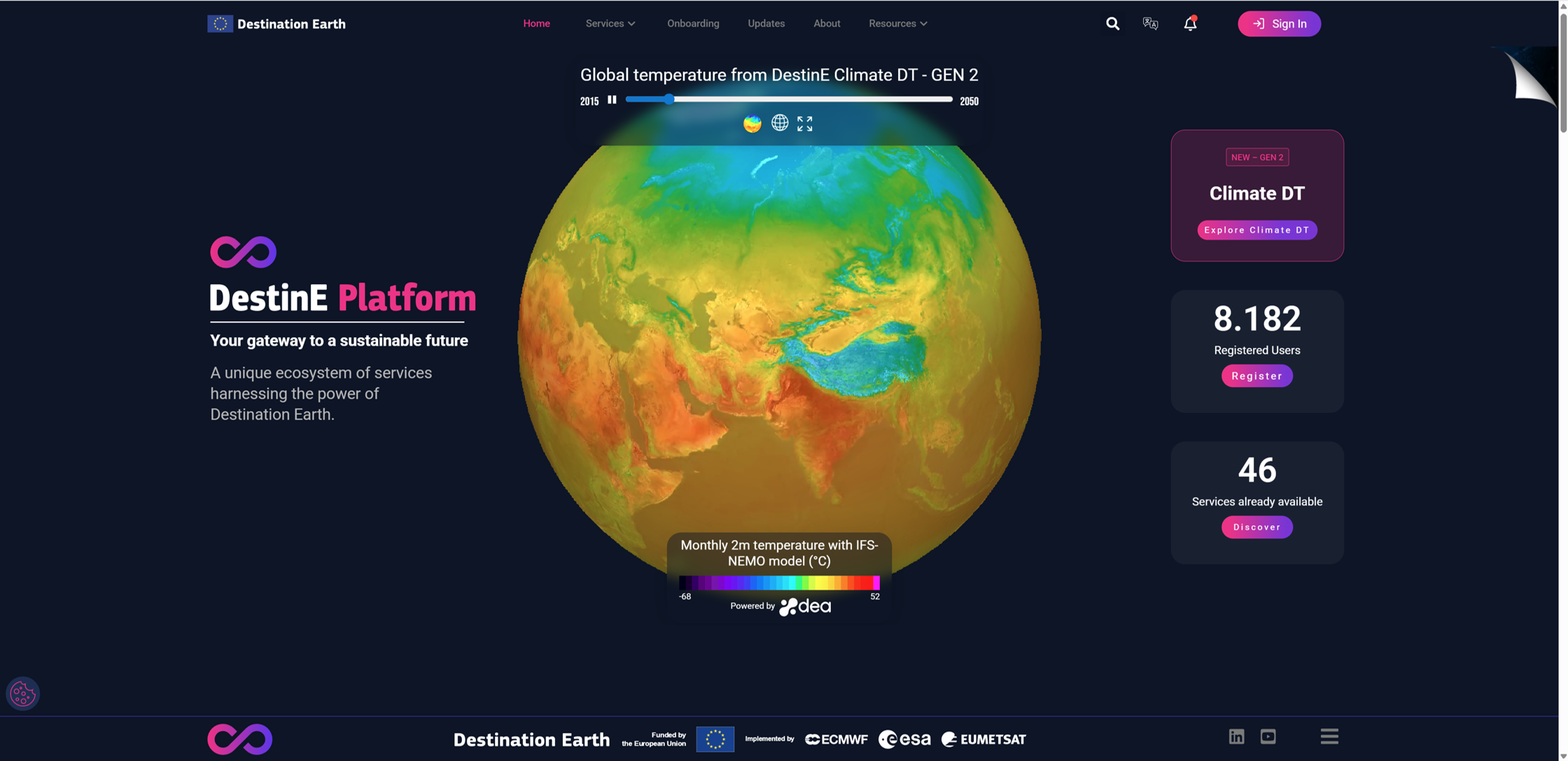
Destination Earth is a flagship initiative of the European Commission to develop a highly-accurate digital model of the Earth (a digital twin of the Earth) to model, monitor and simulate natural phenomena, hazards and the related human activities. These groundbreaking features assist users in designing accurate and actionable adaptation strategies and mitigation measures.
DestinE unlocks the potential of digital modelling of the Earth system at a level that represents a real breakthrough in terms of accuracy, local detail, access-to-information speed and interactivity.
By pushing the limits of computing and climate sciences, DestinE is an essential pillar of the European Commission’s efforts towards the Green Deal and Digital Strategy.